What is the Red Triangle?
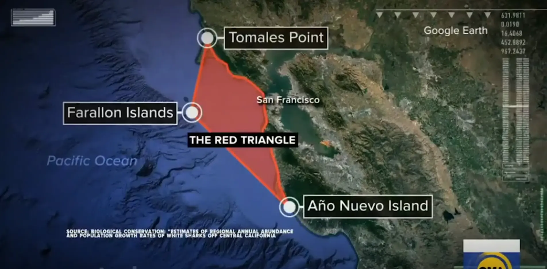
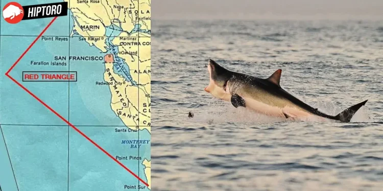
The Red Triangle is a popular term used to describe a triangular area off the northern coast of California, stretching from Bodega Bay near San Francisco, past the Farallon Islands, and down to the Big Sur region near Monterey. The name “Red” is associated with the color of the water after a shark has attacked and caused blood to spill.
This region is home to a significant number of marine animals, including elephant seals, harbor seals, sea otters, and sea lions, which are great white shark targets.

Approximately 38% of documented incidents of great white shark attacks on humans in the United States have taken place in the Red Triangle, which accounts for 11% of the global total.
This region includes the beaches of the densely populated San Francisco Bay Area, where a large number of individuals engage in activities such as surfing, windsurfing, swimming, and diving.
The boundaries of the Red Triangle are marked by Bodega Bay (Bodega Head) to the north, the Farallones to the west, and either Big Sur or Monterey Bay to the south.
In 1999, researchers began studying the migration patterns of sharks and other large marine creatures in this area through the Tagging of Pacific Predators (TOPP) program, which involved a global partnership.
TOPP’s findings revealed that the white sharks in the Red Triangle have a unique genetic makeup separate from those found in other parts of the Pacific Ocean, including Australia.

White Sharks in the Red Triangle
During the autumn season, the northeastern Pacific white sharks gather near the north/central California coast and then depart from the region in December to reach the deep ocean, which lies about halfway between California and Hawaii.
TOPP has named this area the White Shark Café. According to scientists, female white sharks typically make trips to the Gulf of the Farallones every other year, possibly due to their reproductive patterns. In May, adult Great White Sharks are absent from the Red Triangle, but they begin to come back in August.

According to a study by McCosker and Lea, the majority of attacks by white sharks in California happen in the northern region above Point Conception (34°30’ N latitude), with only one incident reported in Washington State.
Specifically, 80% of these attacks have been documented in the area between Humboldt County and Monterey County, while 62% of all incidents have taken place along a 100-mile stretch of coastline from Marin County to Monterey County, extending out to the Farallon Islands (located 30 miles offshore).
There are fewer attacks south of Point Conception due to the infrequency of pinniped colonies near the shore, which are the preferred food source of adult white sharks. In contrast, the higher number of attacks further north can be attributed to the overlapping presence of abundant pinnipeds and a significant level of human water usage in the area.


